
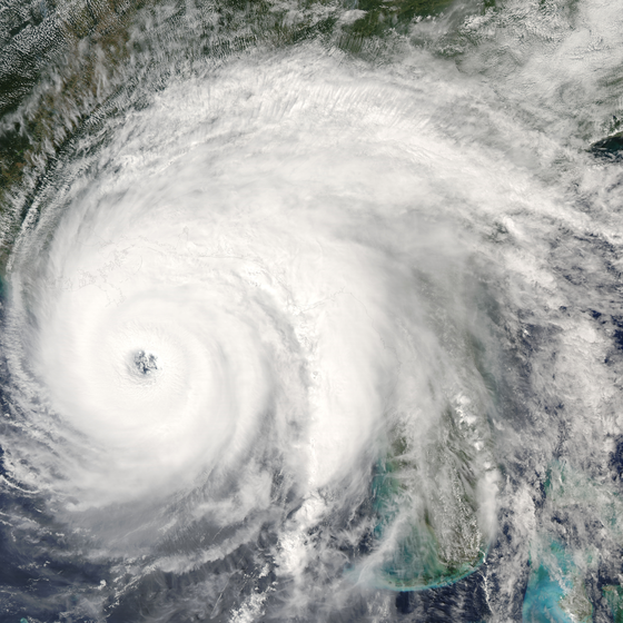
Weather forecasts describe conditions across broad areas, but operational hazards can develop at the scale of an individual site. Lightning, intense precipitation, strong winds and rapidly rising water levels may evolve locally and affect rivers, drainage networks and flood-prone areas differently.
Effective warning begins with reliable local observation. Direct measurements reveal what is happening at the monitoring site, while hazard-specific detection identifies conditions that standard meteorological parameters alone cannot describe.
Senseca combines weather, rainfall and water-level measurements, event-specific detection, configurable warning criteria and connected communication systems.This creates a clear and traceable link between observed conditions, the level of risk and the action to be taken.
Whether protecting a single location or coordinating a distributed meteorological network, the objective is the same: provide sufficient confidence and lead time for proportionate action and indicate when conditions have returned to an acceptable state.



Regional forecasts cannot always represent precipitation and water-level conditions at a specific river section, drainage channel or flood-prone location. Local observations show whether rainfall is intensifying and how the monitored water body is responding.
Rain gauges measure precipitation accumulation and rainfall intensity, helping identify short-duration events and persistent rainfall that may increase flood risk.
Continuous water-level sensors monitor changes in rivers, channels, reservoirs, collection sumps and other suitable locations. Level trends and configurable thresholds help identify rapidly rising conditions and support timely warning procedures.
Combining rainfall and water-level measurements provides a clearer picture of the developing event and establishes the measurement basis for river monitoring and local flood warnings.
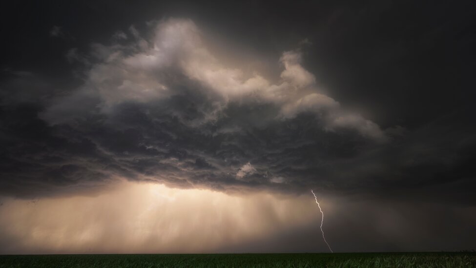
Lightning risk cannot be assessed reliably from cloud appearance or nearby rainfall alone. Effective warning requires direct observation of the storm’s electrical activity, together with an indication of its proximity and development.
Senseca thunderstorm detection systems identify cloud-to-ground, cloud-to-cloud and intra-cloud lightning. They can also detect charged precipitation and strong atmospheric electric-field conditions associated with developing overhead thunderstorms.
Depending on the selected configuration, lightning activity can be detected at distances of up to 83 kilometres. Monitoring local electrical conditions can provide an indication of overhead risk before the first nearby discharge, while low susceptibility to radio interference helps limit false alarms.
Distance-based warning zones and graduated risk levels translate detection into clear operational status information, supporting both timely precautions and a controlled return to normal activity.
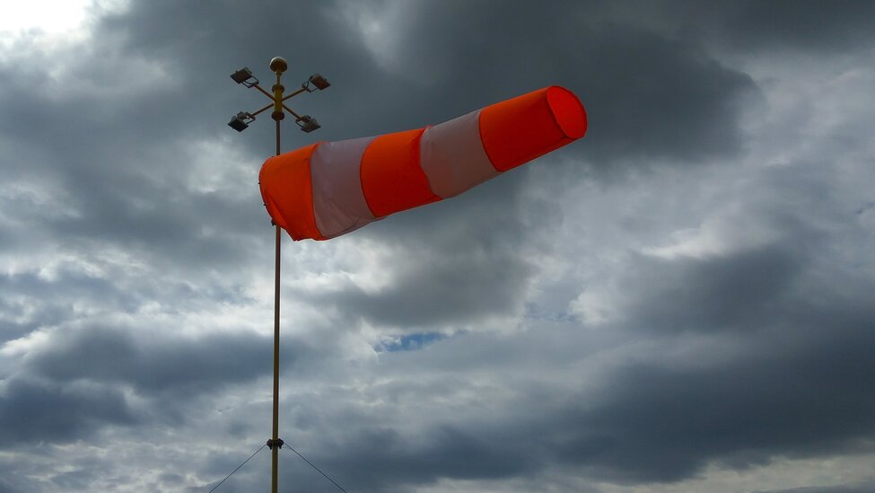
A single universal threshold is rarely appropriate for every location. Warning criteria should reflect the monitored hazard, local exposure, operational consequences and the time required to respond.
Senseca data-acquisition and monitoring systems can process measurements, perform calculations and apply configurable alarm criteria. Warning logic can consider instantaneous, average, maximum, minimum or accumulated values, as well as defined thunderstorm risk zones.
Graduated levels distinguish a developing condition from one requiring immediate action. Different criteria can therefore initiate proportionate responses instead of treating every threshold exceedance as an identical event.
Linking each warning level to a predefined procedure helps teams respond consistently and makes the reasoning behind each alert easier to understand and verify.
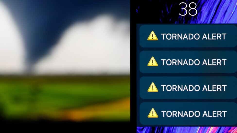
A warning has practical value only when its status reaches the responsible people or connected systems in time for action.
Senseca warning systems can support local visual or audible signalling and integrate with external equipment through relays and digital communication interfaces. This allows detected conditions to activate on-site safety procedures as well as centralised monitoring workflows.
Remote communication systems can transmit measurements and alarms to control centres, web platforms and mobile recipients. Depending on the selected architecture, notifications can be distributed through dedicated applications, SMS and email.
Combining local signalling with remote notification reduces dependence on a single communication path. Clearly defined recipients, escalation rules and all-clear procedures help ensure that every warning is understood and acted upon.


Early warning systems are not a luxury, but a cost-effective tool that saves lives, reduces economic losses, and provides a nearly tenfold return on investment.